
A River Border is a border between states or their subdivisions which is concomitant with natural formations such as rivers, mountain ranges, or deserts. Listed below are few of them :-
1. Colorado River
The Colorado River forms the border between United States and Mexico.
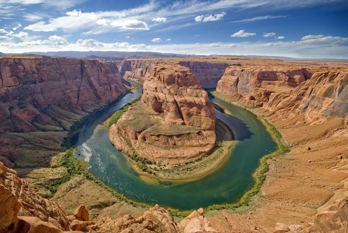
skeeze /Public Domain | Colorado River
2. Kagera River
The Kagera River flows east along the Rwanda-Burundi and Rwanda-Tanzania borders to a confluence with the Ruvubu River.
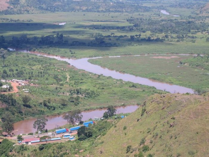
SteveRwanda /CC BY-SA 3.0 | The Confluence Of The Kagera And Ruvubu Rivers
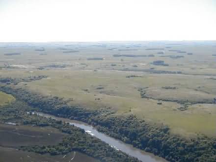
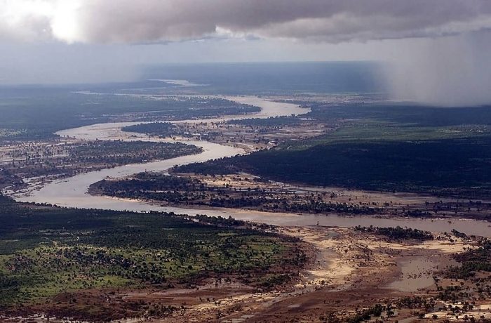
3. Cuando River
The Cuando River flowing through Angola and Namibia’s Caprivi Strip into the Linyanti Swamp on the northern border of Botswana.
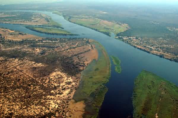
Brian McMorrow /CC BY-SA 2.5 | Cuando River
4. Rainy River
Rainy River forms part of the U.S.-Canada border separating northern Minnesota and Northwestern Ontario.
USGS /Public Domain | Rainy River
5. Detroit River
The whole river is coterminous with the international border between Canada and the United States.

Barbara Eckstein /CC BY 2.0 | Detroit River
6. Artibonite River
The Artibonite River is forming part of the international border between Haiti and the Dominican Republic.
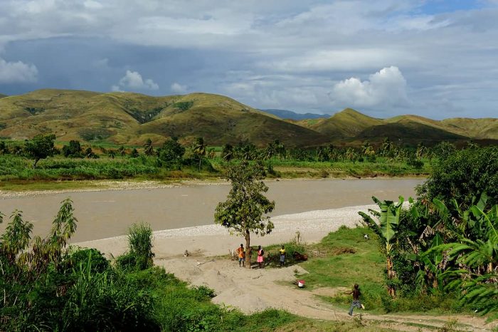
Kendra Helmer, USAID /Public Domain | Artibonite River
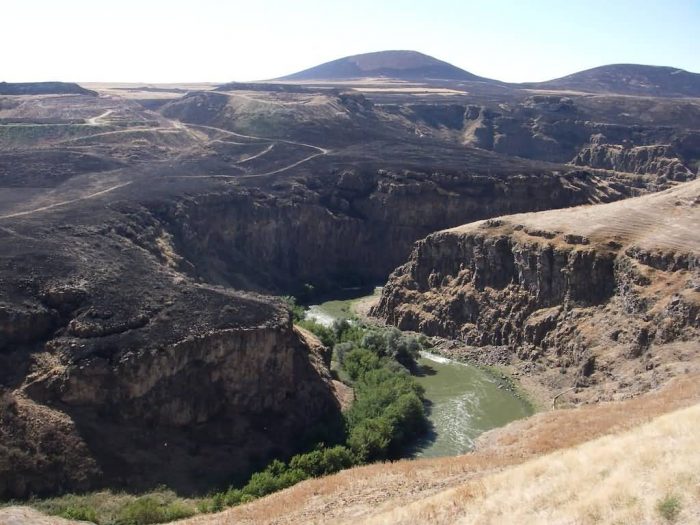
7. Quaraí River
The Quaraí River forms the boundary between Uruguay on the south and Rio Grande do Sul state of Brazil on the north.
Ministerio de Relaciones Exteriores del Uruguay /Public Domain | Quarai River
8. St. Marys River
St. Marys River is separating Michigan in the United States from Ontario, Canada.
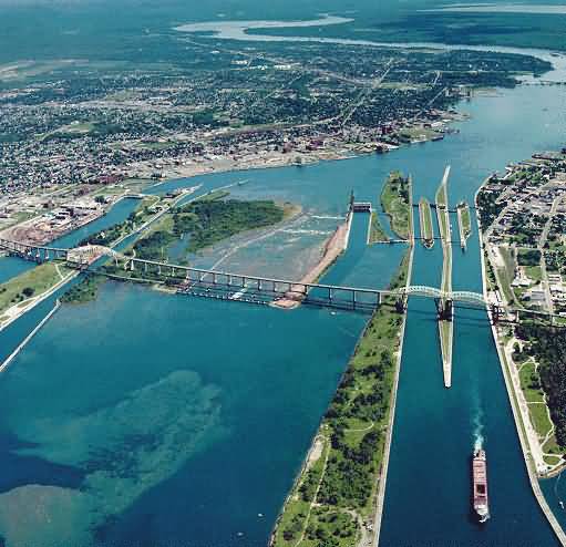
U.S. Army Corps of Engineers soldier or employee /Public Domain | St. Marys River
9. Danube River
The Danube River separates Hungary from Slovakia.
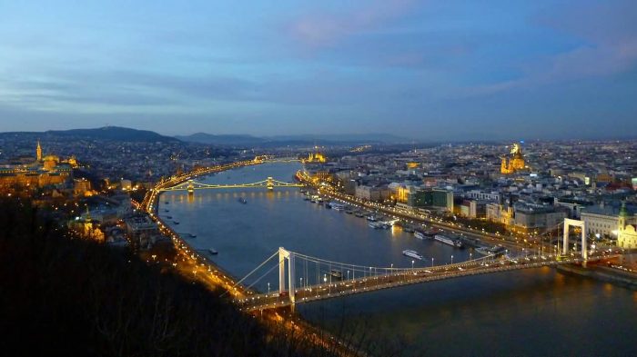
irenne56 /Public Domain | Danube River
10. Limpopo River
The river forms the border for about 640 km separating South Africa from Botswana to the northwest and Zimbabwe to the north.
TSGT CARY HUMPHRIES /Public Domain | Limpopo River
11. Aras River
The Aras River form the boundary between Nakhchivan and Iran.
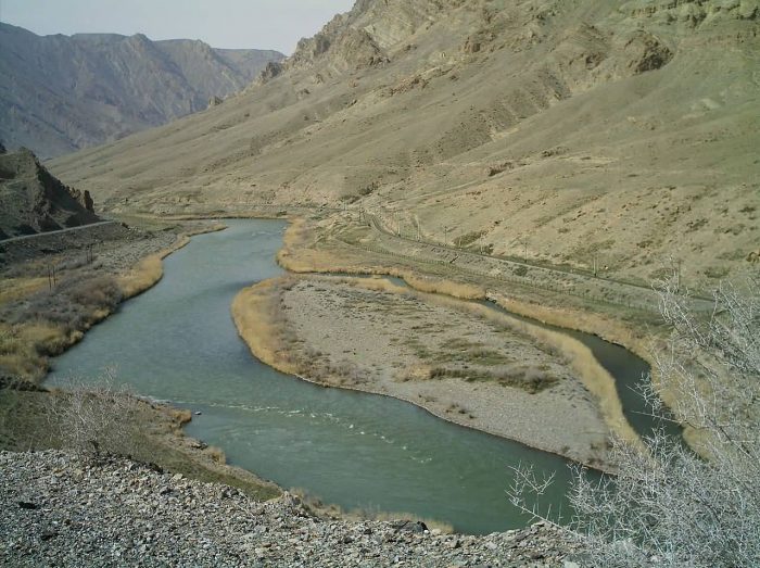
M karzarj /CC BY-SA 3.0 | Aras River
12. Akhurian River
The Akhurian River marks the border between Turkey and Armenia.
Jean & Nathalie /CC BY 2.0 | Akhurian River
13. Tumen River
The Tumen River at the border between North Korea and China.
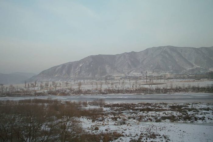
Farm /CC BY-SA 3.0 | Tumen River In Winter
Connect with us